

Makaleler
20
Tümü (20)
SCI-E, SSCI, AHCI (12)
SCI-E, SSCI, AHCI, ESCI (13)
ESCI (1)
Scopus (13)
TRDizin (3)
Diğer Yayınlar (4)


5. A Metaheuristic Optimization-Based Solution to MTF-GLP-Based Pansharpening
PFG-JOURNAL OF PHOTOGRAMMETRY REMOTE SENSING AND GEOINFORMATION SCIENCE
, cilt.91, sa.4, ss.245-272, 2023 (SCI-Expanded, Scopus)
14. Metaheuristic pansharpening based on symbiotic organisms search optimization
ISPRS JOURNAL OF PHOTOGRAMMETRY AND REMOTE SENSING
, cilt.158, ss.167-187, 2019 (SCI-Expanded, Scopus)
18. Investigating the performances of commercial and non-commercial software for ground filtering of UAV-based point clouds
INTERNATIONAL JOURNAL OF REMOTE SENSING
, cilt.39, sa.15-16, ss.5016-5042, 2018 (SCI-Expanded, Scopus)
20. Using UAS-Based Point Clouds to Generate High Resolution Digital Terrain Model for Forestry Research and Applications
EUROPEAN JOURNAL OF FOREST ENGINEERING
, cilt.2, sa.1, ss.35-40, 2016 (Scopus, TRDizin)

Hakemli Bilimsel Toplantılarda Yayımlanmış Bildiriler
18

2. ON THE USE OF TIME SERIES DATASETS THROUGH GOOGLE EARTH ENGINE TO MONITOR THE FOREST COVER LOSS IN TURKIYE BETWEEN 2001 AND 2021
International Conference on Engineering Technologies, Konya, Türkiye, 17 - 19 Kasım 2022, ss.20-24, (Tam Metin Bildiri)
Metrikler
Yayın
41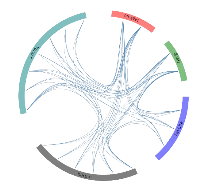
Açık Erişim
1
BM Sürdürülebilir Kalkınma Amaçları