
Makaleler
25
Tümü (25)
SCI-E, SSCI, AHCI (14)
SCI-E, SSCI, AHCI, ESCI (15)
ESCI (1)
Scopus (14)
TRDizin (7)
Diğer Yayınlar (4)


Hakemli Bilimsel Toplantılarda Yayımlanmış Bildiriler
32

Kitaplar
1
Metrikler
Yayın
63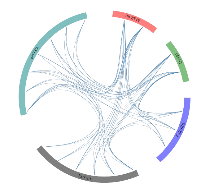
Açık Erişim
46
BM Sürdürülebilir Kalkınma Amaçları