

Makaleler
15
Tümü (15)
SCI-E, SSCI, AHCI (5)
SCI-E, SSCI, AHCI, ESCI (5)
Scopus (4)
TRDizin (3)
Diğer Yayınlar (7)
1. Processing PET/CT Medicine Images and Determining the Object
International Journal of Scientific and Technological Research
, sa.7, ss.21-29, 2021 (Hakemli Dergi)

2. Spectral and Spatial Quality Analysis in Pan Sharpening Process
JOURNAL OF THE INDIAN SOCIETY OF REMOTE SENSING
, cilt.40, sa.3, ss.379-388, 2012 (SCI-Expanded, Scopus)


Hakemli Bilimsel Toplantılarda Yayımlanmış Bildiriler
17
Metrikler
Yayın
42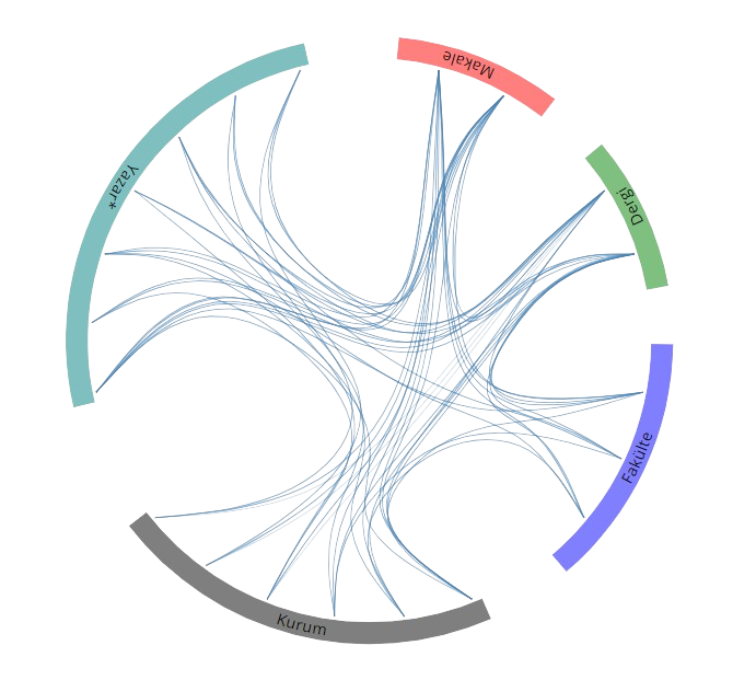
Açık Erişim
42
BM Sürdürülebilir Kalkınma Amaçları