


Makaleler
31
Tümü (31)
SCI-E, SSCI, AHCI (28)
SCI-E, SSCI, AHCI, ESCI (28)
Scopus (27)
TRDizin (3)
Diğer Yayınlar (2)
7. Novel hybrid artificial intelligence approach of bivariate statistical-methods-based kernel logistic regression classifier for landslide susceptibility modeling
BULLETIN OF ENGINEERING GEOLOGY AND THE ENVIRONMENT
, cilt.78, sa.6, ss.4397-4419, 2019 (SCI-Expanded, Scopus)


12. Understanding the mechanism of slope failure on a nearby highway tunnel route by different slope stability analysis methods: a case from NE Turkey
BULLETIN OF ENGINEERING GEOLOGY AND THE ENVIRONMENT
, cilt.75, sa.3, ss.945-958, 2016 (SCI-Expanded, Scopus)

25. Assessment of possible damaged areas due to landslide-induced waves at a constructed reservoir using empirical approaches: Kurtun (North Turkey) Dam reservoir area
NATURAL HAZARDS AND EARTH SYSTEM SCIENCES
, cilt.11, sa.5, ss.1341-1350, 2011 (SCI-Expanded, Scopus)

Hakemli Bilimsel Toplantılarda Yayımlanmış Bildiriler
70
7. Toprak Akması Duyarlılık Değerlendirmesinde Makine Öğrenme Yöntemlerinden Aşırı Gradyan ve Gradyan Arttırma Yöntemlerinin Bir Karşılaştırması: Beşikdüzü (Trabzon) Örneği
2. Uluslararası Afet ve Dirençlilik , Eskişehir, Türkiye, 12 - 15 Ekim 2020, ss.1, (Özet Bildiri)
49. Yüzey erozyonu ile aşınmış alanların belirlenmesi için matematiksel morfolojik filtrelemenin kullanımına bir örnek: Ayvalık (Balıkesir)
Jeolojik Uzaktan Alglılama Sempozyumu, Sivas, Türkiye, 22 - 23 Mayıs 2008, ss.1, (Tam Metin Bildiri)
Metrikler
Yayın
103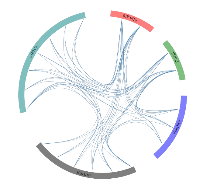
Açık Erişim
7
BM Sürdürülebilir Kalkınma Amaçları